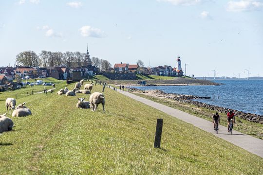
Cycling route 'Polder and dykes'

(52 km)

You will traverse the Polder and cycle on top of dykes on this cycle route.

Hub points:
TOP - LA 33 - 46 - 97 - 28 - 8 - 42 - 9 - 29 - 50 - 49 - 48 - 58 - 59 - 60 - 63 - 72 - 70 - 71 - 26 - 97 - 27 - 1 - TOP (direction 88)

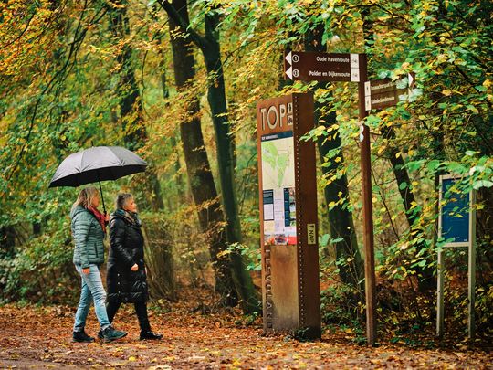
The route starts at the TOP (Tourist Hub point) in the Kuinderbos woods, at the parking area located at Hopweg 2B.
Take a look

Sights on this route

TOP Kuinderbos

Hopweg 2b
8315 RH Luttelgeest
Navigate to starting point
TOP Kuinderbos

Kuinderbos

Kuinderbos
Hopweg 21
8314 PX Bant
Kuinderbos

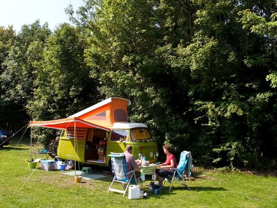
Natuurkampeerterrein de Veenkuil

Natuurkampeerterrein de Veenkuil
Hopweg 21
8314 PX Bant
Natuurkampeerterrein de Veenkuil
33
46
97

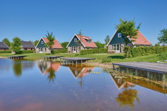
Vakantiepark Eigen Wijze

Vakantiepark Eigen Wijze
Schoterpad 1
8314 RA Bant
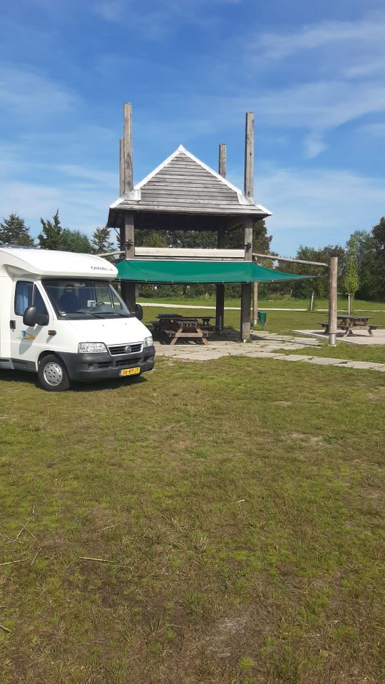
Vakantiepark Eigen Wijze

Motorhome site and activity field De Stronk

Schoterweg 3
8314 PX Bant
Motorhome site and activity field De Stronk

Shared E-Bike hub Bant

Deelfietshub Bant
Schoterweg 3
8314 PX Bant
Shared E-Bike hub Bant

Restaurant FENN's

Restaurant FENN's
Schoterpad 1A
8314 RA Bant
Restaurant FENN's
28
08

Glamping Whānau

Ruttensepad 15
8313 PM Rutten
Glamping Whānau
42
09
8313 PR Lemmer
50
49
48
58
59
60
63
72
70
71
26

TOP Kuinderbos

Hopweg 2b
8315 RH Luttelgeest
Navigate to endpoint
TOP Kuinderbos
  • 33
  • 46
  • 97
  • 28
  • 08
  • 42
  • 09
  • 50
  • 49
  • 48
  • 58
  • 59
  • 60
  • 63
  • 72
  • 70
  • 71
  • 26