Cycling route 'Polder and dykes'

(52.0 km)

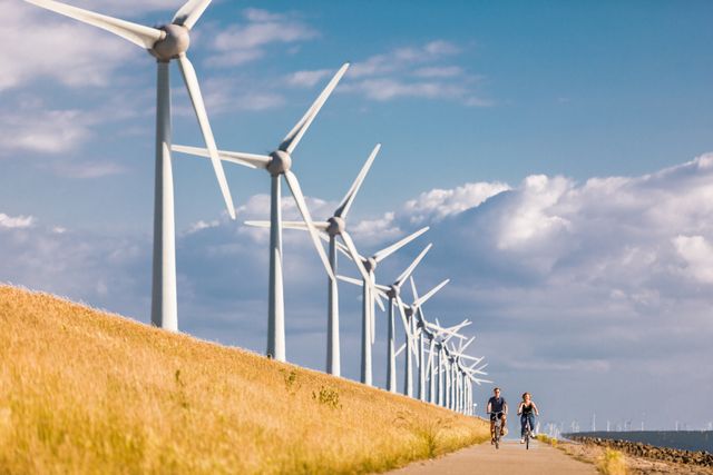
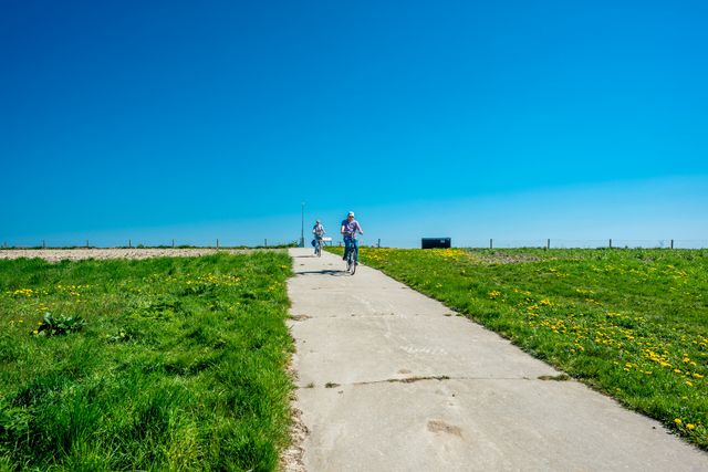
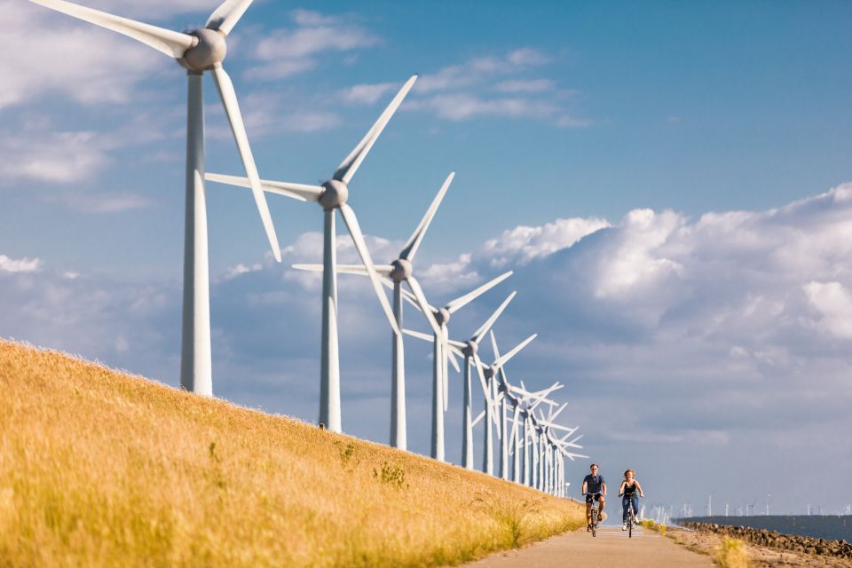
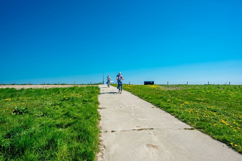
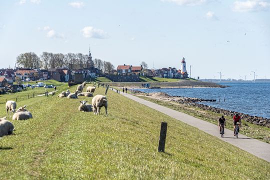
You will traverse the Polder and cycle on top of dykes on this cycle route.
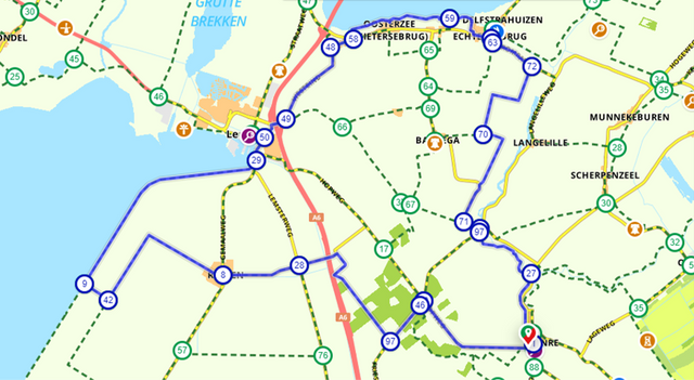
Hub points:
TOP - LA 33 - 46 - 97 - 28 - 8 - 42 - 9 - 29 - 50 - 49 - 48 - 58 - 59 - 60 - 63 - 72 - 70 - 71 - 26 - 97 - 27 - 1 - TOP (direction 88)

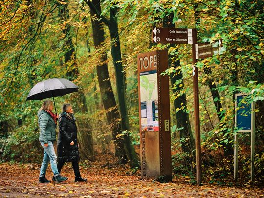
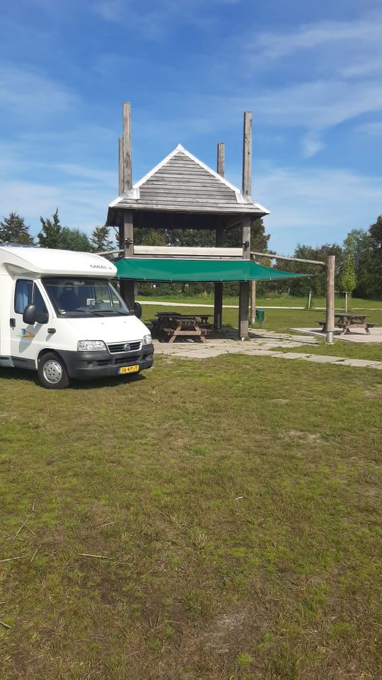
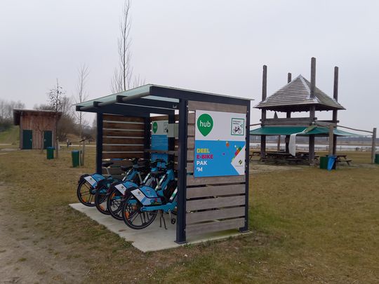
The route starts at the TOP (Tourist Hub point) in the Kuinderbos woods, at the parking area located at Hopweg 2B.

Sights on this route

1

TOP Kuinderbos

Hopweg 2 b
8315 RH Luttelgeest
TOP Kuinderbos
2

Kuinderbos

Kuinderbos
Hopweg 21
8314 PX Bant
Kuinderbos
3

Natuurkampeerterrein de Veenkuil

Natuurkampeerterrein de Veenkuil
Hopweg 21
8314 PX Bant
Natuurkampeerterrein de Veenkuil
33
46
97
4

Vakantiepark Eigen Wijze

Vakantiepark Eigen Wijze
Schoterpad 1
8314 RA Bant
Vakantiepark Eigen Wijze
5

Motorhome site and activity field De Stronk

Schoterweg 3
8314 PX Bant
Motorhome site and activity field De Stronk
6

Shared E-Bike hub Bant

Deelfietshub Bant
Schoterweg 3
8314 PX Bant
Shared E-Bike hub Bant
7

Restaurant FENN's

Restaurant FENN's
Schoterpad 1 A
8314 RA Bant
Restaurant FENN's
28
08
8

Glamping Whānau

Ruttensepad 15
8313 PM Rutten
Glamping Whānau
42
09
9
8313 PR Lemmer
50
49
48
58
59
60
63
72
70
71
26
10

TOP Kuinderbos

Hopweg 2 b
8315 RH Luttelgeest
TOP Kuinderbos
  • 33
  • 46
  • 97
  • 28
  • 08
  • 42
  • 09
  • 50
  • 49
  • 48
  • 58
  • 59
  • 60
  • 63
  • 72
  • 70
  • 71
  • 26